98 Minutes of Live Video over 4G: Flying a Fixed-Wing over the Alazani Valley
Two flights over the vineyards and ridges of Kakheti, Georgia, streamed live in 1080p over a single LTE SIM. Up to 6.3 km out, steady 3.2 Mbps, every number below read straight from the device’s flight log.
At the end of September we took a fixed-wing up over the Alazani Valley in Kakheti, eastern Georgia: flat vineyards on one side, the forested wall of the Greater Caucasus on the other. On board was an AirCast device with an ordinary MAGTI LTE SIM, and for the whole of both flights its 1080p video and MAVLink telemetry went over 4G to QGroundControl and a browser on the ground.
The numbers
AirCast keeps a one-second flight track and a link log on the device. Everything here comes from those files, not from memory.
| Flight | Armed | Furthest from home | Highest | Top speed | Battery | Video bitrate |
|---|---|---|---|---|---|---|
| September 26 | 62 min | 4.7 km | 787 m | 115 km/h | 98% → 81% | 3.1-3.3 Mbps |
| September 27 | 37 min | 6.3 km | 777 m | 119 km/h | 88% → 73% | 3.1-3.3 Mbps |
- The video bitrate barely moved. Across 98 minutes the 1080p camera stream held between 3.1 and 3.3 Mbps, out to 6.3 km and up to almost 800 m above the field.
- LTE signal stayed between 76% and 100%. Rural Kakheti is not a dense network, and one SIM was enough.
From the air
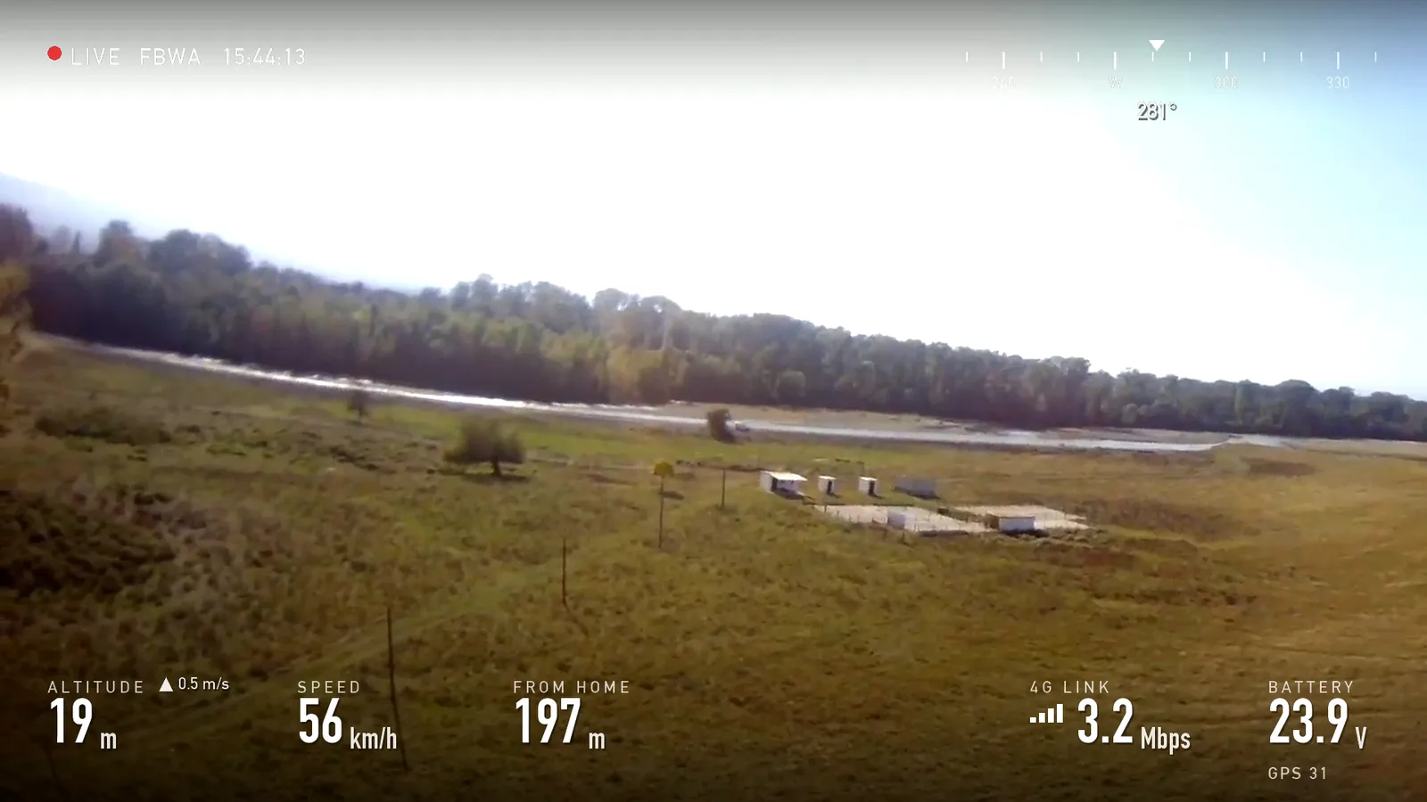
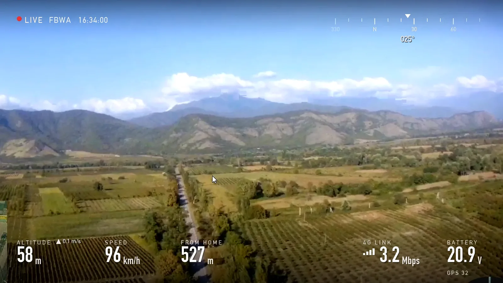
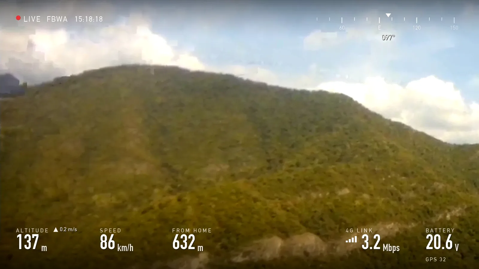
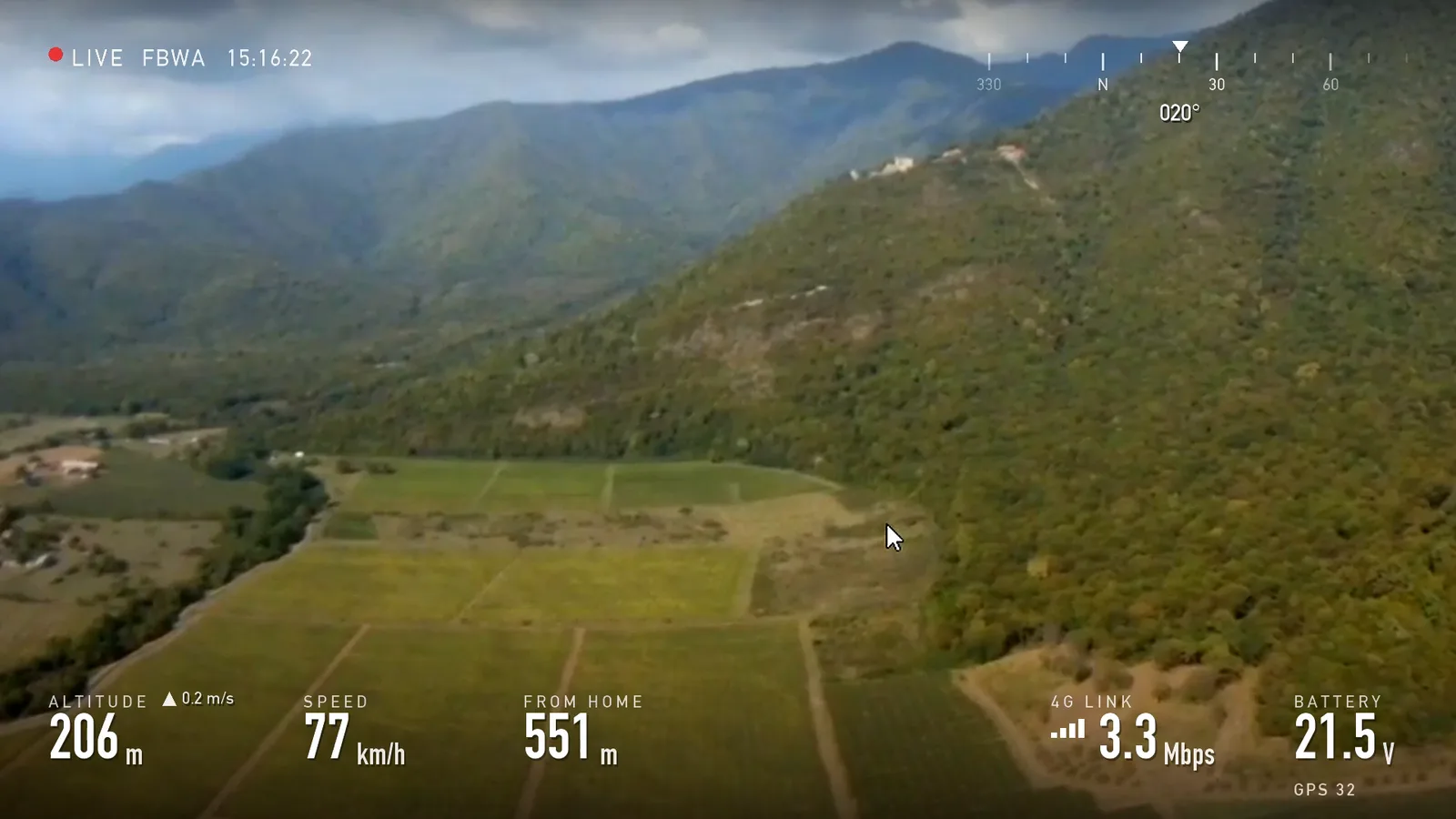
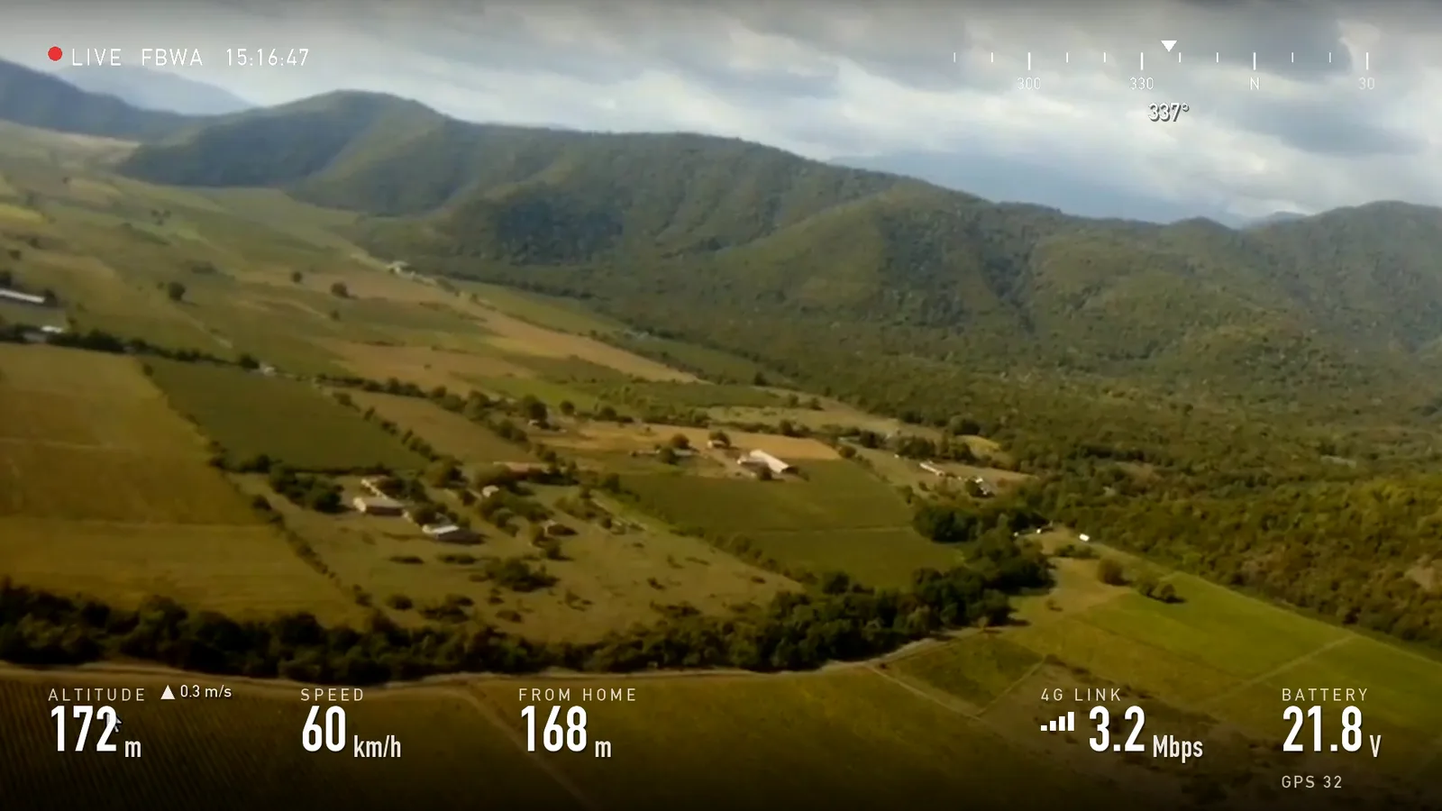
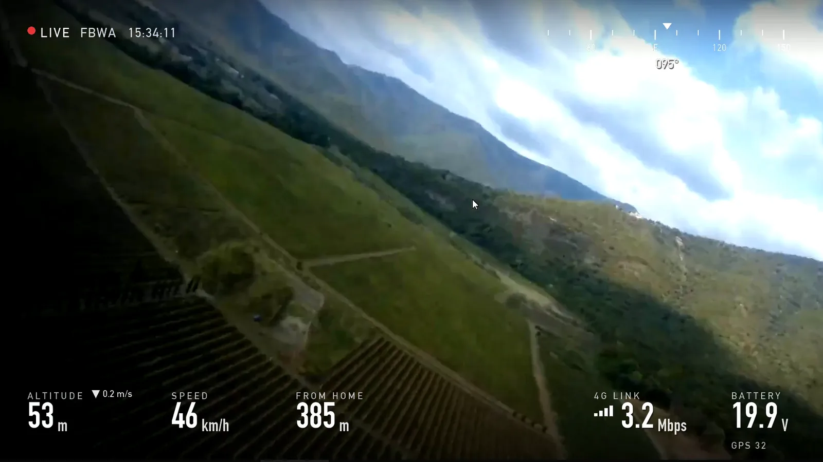
Stills from the reel, with the telemetry the device logged at that second.
What's on screen
The footage is a screen recording of the live stream as the ground station saw it, cropped clear of the QGroundControl panels and the video call we ran alongside. It is the received 4G stream, not an SD-card recording from the aircraft, so it looks the way a remote pilot would see it. We cut a few moments where the stream stalled.
The overlay comes from the device's own flight log: altitude, ground speed, distance from home, heading, battery and the live video bitrate, lined up with the recording to within about two seconds. The map time-lapse near the end shows the plane loitering over the vineyards.
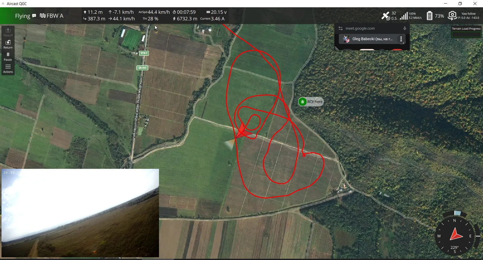
On the ground station
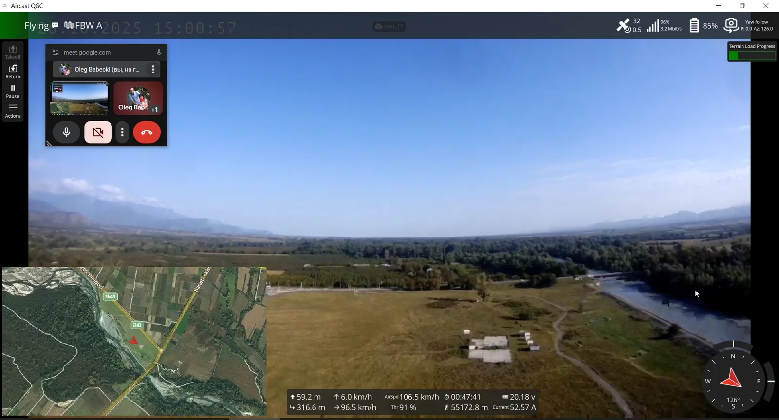
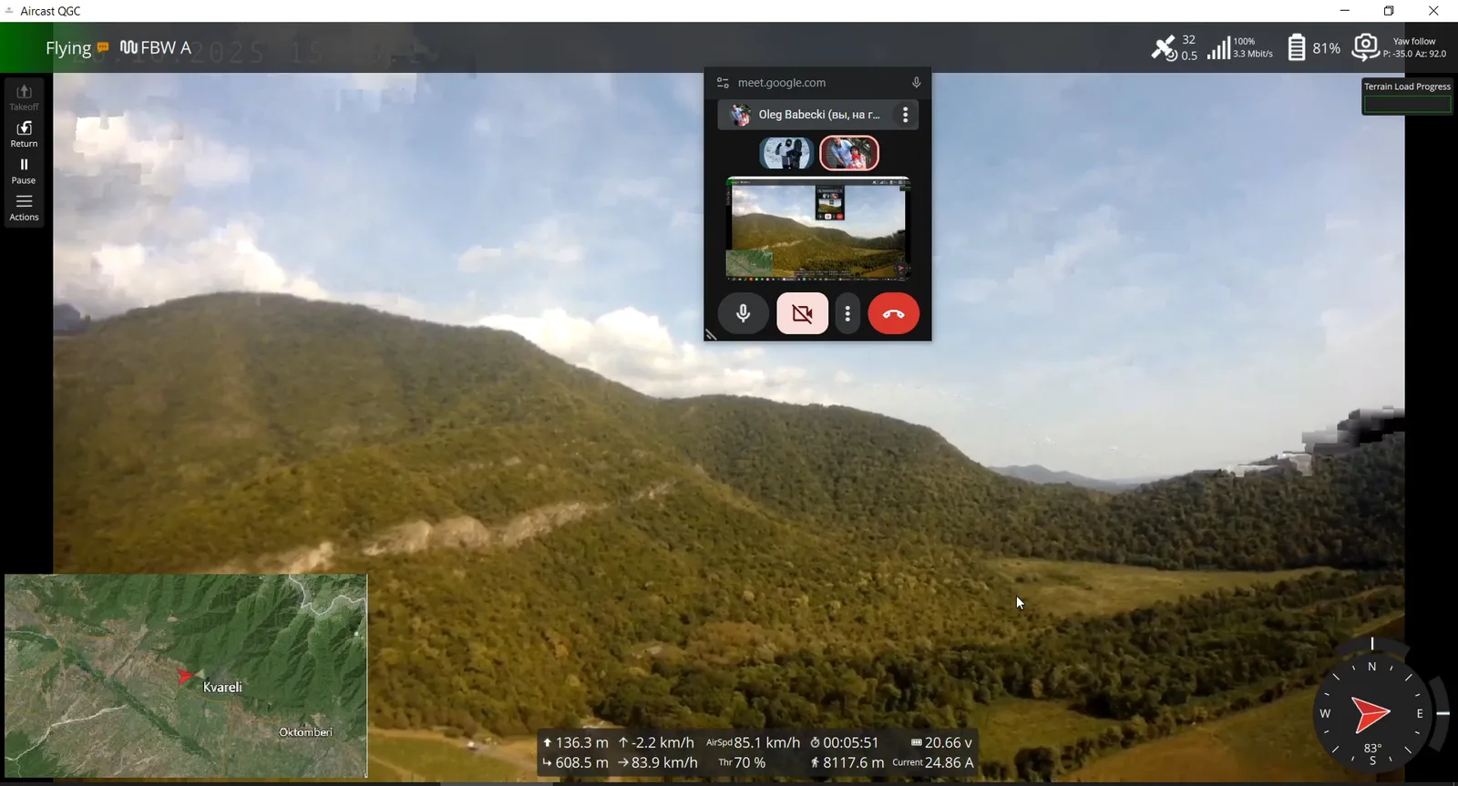
What the pilot saw in QGroundControl, straight from the screen recording.
The setup
- A fixed-wing on ArduPilot, flown in FBWA with a short RTL.
- A Raspberry Pi running AirCast, with an LTE modem and a 1080p RTSP camera.
- A MAGTI SIM on the LTE network.
- QGroundControl and a browser on the ground, both pulling straight from the device.
Want the same link on your aircraft? Start with Getting Started, or read how streaming drone video over 4G/LTE works under the hood.